

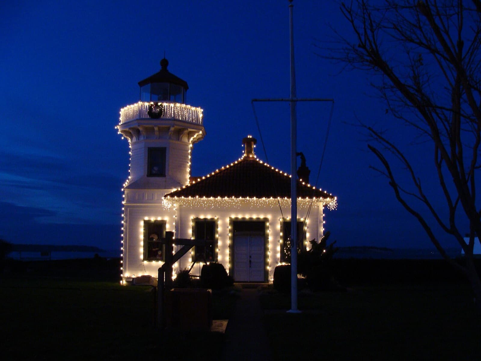
The Treaty of Point Elliott was signed at what is now Mukilteo, WA on January 22, 1855. The treaty text itself names the place “Muckl-te-oh, or Point Elliott.” Today the Possession Sound city of 21,610 (state estimate, April 1, 2026) keeps its 1906 light station beside the ferry to Clinton on Whidbey Island, with weekday Sounder trains at Mukilteo Station.
A village, a point and a treaty
People of the Snohomish Tribe kept a year-round village on the spit and salt marsh here, HistoryLink says, and studies for the new ferry terminal found a large shell midden carbon-dated to about 1,000 years ago. George Vancouver anchored offshore late on May 30, 1792, and his officers named the place Rose Point for its wild roses. In 1841 Charles Wilkes renamed it Point Elliott on American charts.
The treaty came next. The text published by the Governor’s Office of Indian Affairs opens at “Muckl-te-oh, or Point Elliott” on January 22, 1855, is signed by territorial Governor Isaac Stevens and then by Seattle, “Chief of the Dwamish and Suquamish tribes,” and was ratified on March 8, 1859. HistoryLink counts 82 Native leaders at the signing. A monument placed in 1931 remains near its original location, HistoryLink notes.
The meaning of the name is told more than one way. HistoryLink says it has often been given as “good camping ground,” while the Snohomish dialect of Lushootseed supplies “to swallow” or “narrow passage.”
Mukilteo was also the county’s first seat. Morris Frost and Jacob Fowler set up a trading post in 1860, and the first county commissioners met here in March 1861. That July voters moved the seat to Snohomish. The town incorporated in 1947.
Lighthouse Park and Japanese Gulch
The Mukilteo Light Station, completed in 1906, is on the National Register of Historic Places. It stands at Lighthouse Park, 609 Front Street, which the state built in the 1950s and transferred to the city in 2003. The park has a public boat launch.
Japanese Gulch carries another chapter. Japanese workers at the Crown Lumber Company and their families lived in company housing in the gulch from 1903 until the mill closed in 1930, according to HistoryLink. The city acquired the property in 2013 for recreation and preservation. Today the city publishes trail maps for what it calls the Japanese Gulch Conservation Area, and a stewards group formed under its Japanese Gulch Master Plan represents mountain bikers, hikers, trail runners and dog walkers. One boundary note from the city’s comprehensive plan: some city-owned property on the west side of the gulch lies inside the City of Everett.
Harbour Pointe
Large areas of the city were developed under the Harbour Pointe Master Plan, which the city’s comprehensive plan says Snohomish County first adopted in 1978 as the Possession Shores Master Plan. Mukilteo annexed the area in 1991. The plan describes Harbour Pointe as a master-planned neighborhood developed in a series of sectors, with a golf course and a mix of parks, schools, shopping centers and restaurants.
The Lighthouse Festival
The Mukilteo Lighthouse Festival began in 1965, The Everett Herald reports. In 2026 it ran Friday through Sunday, September 11 to 13, at Lighthouse Park, with a Saturday-morning parade through the city and fireworks on Saturday night. The city lists admission as free.
How do you get around from Mukilteo?
The ferry first. Washington State Ferries opened the Mukilteo terminal on December 29, 2020, replacing a facility built in 1957, on the site of a former Air Force fueling pier. The state described its passenger building as designed in the form of a Coast Salish longhouse, and Tulalip News called the terminal a shared vision between the state and area tribes, with artwork by Tulalip artists Joe Gobin and James Madison.
Sounder’s N Line stops at Mukilteo Station, 920 First St., on weekdays only, toward Seattle in the morning and back in the afternoon. Community Transit Routes 103 and 117 run to Lynnwood City Center Station, and Everett Transit buses run to Everett. SR 525, the Mukilteo Speedway, runs to the ferry, and SR 526 runs east through Everett. Paine Field is outside Mukilteo’s city limits, about five miles from the ferry landing by HistoryLink’s measure.
Living here
A point named for its wild roses, a treaty ground, and a light station that has stood beside the ferry dock since 1906: Mukilteo’s history sits at the water’s edge.
If you are weighing a move to Mukilteo, or selling a home here, Chase Hedin, Managing Broker, can help you think through how the waterfront, Harbour Pointe and the ferry and rail schedules fit your plans. Start a conversation or ask what your home is worth.