

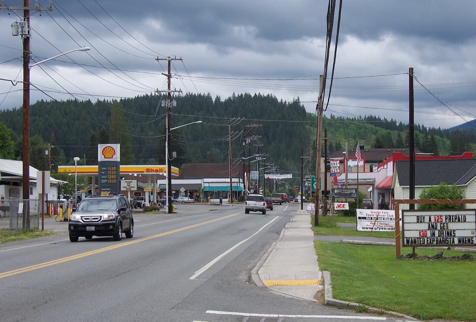
The Mountain Loop Highway starts here. Granite Falls, WA, a city of 4,765 (OFM, 2026), sits on a narrow plateau in the Cascade foothills between the Pilchuck River and the South Fork Stillaguamish, about 17 miles east of the Port of Everett and 11 miles from Arlington by the city’s figures. Trailheads up the highway, two rivers and a small downtown define it.
From “the portage” to Granite Falls
Coast Salish people used the plateau as a portage, and early settlers simply called it “the portage,” HistoryLink records. A fire some time after the Civil War had left open ground known as the Big Burn, which made homesteading easier, and claims began in the early 1880s. When the town organized, the name went to the falls a couple of miles north on the South Fork Stillaguamish.
Gold and silver strikes at Monte Cristo in 1889 made the town a supply point for miners, and it was platted in 1891. HistoryLink’s essays disagree on the incorporation date, November 8 or December 21, 1903, so this page gives the year only. Shingle mills followed: ten were running by 1906, by HistoryLink’s count.
How does the Mountain Loop Highway work?
The U.S. Forest Service describes the Mountain Loop as a 55-mile National Forest Scenic Byway linking Granite Falls with Darrington, designated in 1991 and first pioneered by miners in 1891. When the Monte Cristo railroad shut down in 1936, its grade became an automobile road, and two years later the Civilian Conservation Corps built the narrow route from Barlow Pass to Darrington that still forms the loop’s final stretch, HistoryLink says.
The full loop is usually drivable only from late spring through fall, the Forest Service says. Along the way, the Verlot Public Service Center near the South Fork Stillaguamish, built by the CCC between 1933 and 1942, is on the National Register of Historic Places and opens seasonally to help with trip planning. Campgrounds, picnic areas and trailheads line the road, all outside city limits along the byway.
The falls and the fishway
The falls that named the town lie outside city limits, a couple of miles north. Beside them, the Washington Department of Fish and Wildlife runs the Granite Falls Fishway. WDFW’s own reports say it was built in 1956: 51 vertical slots leading into a 300-foot tunnel that gives salmon, steelhead and native char access to 57 miles of habitat in the upper South Fork Stillaguamish. Thieves stripped its copper wiring in October 2024, leaving it inoperable, KIRO 7 reported, and state contract records show WDFW had electrical repairs made in 2025. Check with WDFW on current operation and visitor access.
Parks in town
Frank Mason Park, off Ray Gray Road near the west entrance to the city, holds Lake Gardner, where the city lists a public dock for fishing and swimming, a picnic shelter and restrooms. Jim Holm Park, across from City Hall on the 200 block of South Granite Avenue, has a playground, covered picnic area, basketball courts and a skatepark. Eagle Park, at the east end of Stanley Street near the library, is a fenced off-leash dog park kept up by volunteers. The city also lists boat-launch access to nearby Lake Bosworth and Lake Roesiger.
Railroad Days
The Granite Falls Chamber of Commerce held Railroad Days in 2026 on Saturday, October 3, with a children’s parade at 11:30 a.m., the grand parade at noon, and vendors and a kid zone through the afternoon.
Living here
A plateau between two rivers, a mining road turned scenic byway, a fishway at the falls: Granite Falls lives at the foot of the Mountain Loop. For buyers drawn to the foothills, and for owners deciding when to sell, Chase Hedin, Managing Broker, can help you weigh how the town’s foothill setting, its lake park and its roads toward Lake Stevens and Arlington fit your plans. Start a conversation · What’s my home worth?